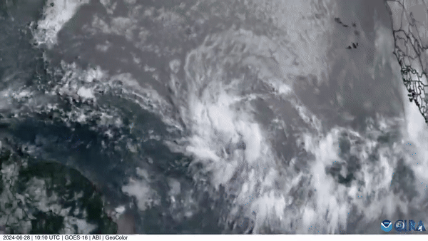
Satellite images show the path of Storm Beryl from its formation in late June through its trek through the Caribbean before reaching parts of the United States in July.
This time-lapse footage from the Cooperative Institute for Research in the Atmosphere (CIRA) spans 16 days, from June 27 to July 12, and shows Beryl's “formation as a tropical storm, due to the post-tropical extreme weather and flooding it caused in eastern North America”.
Remnants of Beryl prompted flood warnings for parts of New York and northern New England on July 10 before the storm weakened. Source: CSU/CIRA & NOAA via Storyful